Within Field Basics
Can the sighting site be checked?
Precise locations let investigators test a claim against terrain, access routes, known wildlife and ordinary human activity.
On this page
- Recording coordinates and access points
- Mapping roads, trails, water and fences
- Testing the claim against local ecology
Page outline Jump by section
Introduction
A cryptid sighting cannot be investigated properly if nobody knows where it happened. Precise GPS coordinates are among the most useful pieces of information in a field report because they allow other investigators to compare the claim with the actual landscape, access routes, wildlife habitat and human activity at the site. A report that merely says “deep in the woods” or “near the lake” leaves little to test. A report tied to a mapped location can be checked against roads, trails, watercourses, property boundaries, elevation, vegetation and known animal distributions. Modern GPS-enabled phones make this easier than ever, but the value comes not from owning coordinates, but from using them to evaluate the claim against real-world conditions. GPS data are widely used in wildlife monitoring, environmental mapping and biodiversity recording because location is often the key variable that allows observations to be verified and compared.[GPS.gov+2PMC]gps.govrategy planning. Some nations collect and use mapping…Read more…
Can the sighting site be checked?
The central question is simple: can another person find and examine the same place?
Responsible cryptid investigations treat location as evidence rather than background detail. If a witness provides coordinates, investigators can revisit the site, inspect sightlines, measure distances, assess terrain and compare the report with known ecological conditions. If the location cannot be identified with reasonable precision, many potentially useful checks become impossible.
GPS positions are not perfect. Every recorded location has some degree of uncertainty, and wildlife-recording systems commonly track both coordinates and location accuracy rather than assuming a point is exact. The concept of positional uncertainty is well established in biodiversity databases and georeferenced observations.[iNaturalist Community Forum]forum.inaturalist.orgon observations with unusually low location accuracyiNaturalist Community ForumOn observations with unusually low location accuracyJun 2, 2025 — No, if the true location of the observation…
For cryptid reports, this means investigators should record:<div class="content-enhancement content-enhancement--insight-grid" markdown="1">
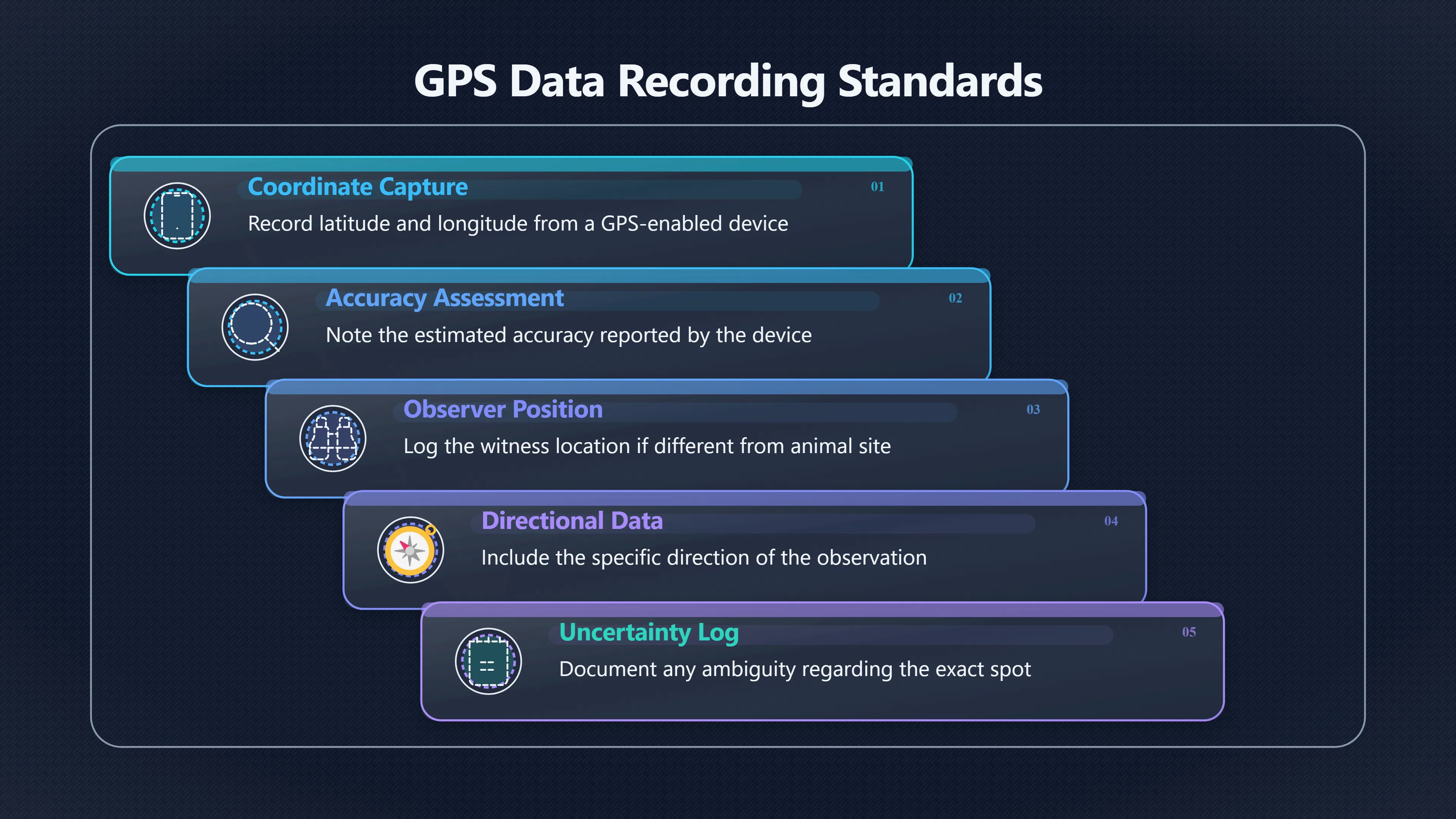
- Latitude and longitude from a GPS-enabled device.
- The estimated accuracy reported by the device.
- The observer’s position if different from the reported animal’s location.
- The direction of observation.
- Any uncertainty about the exact spot.</div>
A coordinate accompanied by a realistic uncertainty estimate is often more useful than a falsely precise coordinate that may be wrong.
Recording coordinates and access points
Coordinates alone rarely tell the full story. A strong location record combines GPS data with practical information about how the site can be reached.
For example, a report from a remote valley may sound impressive until mapping shows a vehicle track running directly through the area. Conversely, a supposedly ordinary location may prove surprisingly isolated once terrain and access routes are examined.
Useful notes include:<div class="content-enhancement content-enhancement--comparison" markdown="1">
- Nearest road or track.
- Trailheads and footpaths.
- River crossings.
- Gates and fences.
- Public versus private land.[inaturalist.org]inaturalist.org34066 to obscure make private or leave your observation public openTo Obscure, make Private or leave your observation Public/…Apr 26, 2020 — iNaturalist allows a user to select 1 of 3 options to displa…
- Parking areas and campsites.
- Distances from settlements or buildings.</div>
These details matter because they help assess whether ordinary human activity could explain observations. A mysterious vocalisation reported half a kilometre from a campsite is different from one reported many kilometres from regular human use.
What maps reveal that witnesses often miss
Witnesses frequently describe a location based on memory rather than measured geography. Mapping can reveal features that were unnoticed during the sighting.
A GPS location can be examined using satellite imagery, aerial photography and topographic maps to answer questions such as:<div class="content-enhancement content-enhancement--insight-grid" markdown="1">
- Was there a hidden access road nearby?
- Were there buildings concealed by vegetation?
- Was there a game trail leading through the area?
- Did the terrain create unusual sightlines?
- Could sounds have travelled along a valley or watercourse?</div>
Elevation data are especially useful. Hills, ridges and depressions can distort perceptions of distance and size. An animal appearing on a skyline may seem larger than it really is. Likewise, terrain can hide roads or human activity from a witness while still allowing people to enter the area easily.
Topographic maps were created specifically to represent terrain, hydrology, vegetation and cultural features in a form that can be analysed and revisited. fsl.orst.edu+2U.S. Geological Survey[fsl.orst.edu]fsl.orst.eduUSG S Topographic MapsUSGS Topographic MapsApril 25, 2002 — Topographic maps portray a range of natural and cultural features. Some of the data used to create…
Mapping roads, trails, water and fences
Many cryptid reports gain or lose credibility once nearby features are mapped.
A practical review often begins with a simple overlay of the sighting coordinates onto available maps. Investigators look for:
Road networks. A supposedly isolated encounter may have occurred close to a forestry road, maintenance track or utility corridor.
Trails. Hiking routes can explain human presence, noise or accidental sightings of ordinary wildlife.
Water features. Rivers, lakes and wetlands influence wildlife movement and often concentrate animal activity.
Fences and boundaries. Livestock, captive animals and escaped exotic species can sometimes be traced to nearby enclosures or property lines.
Human infrastructure. Cabins, communication towers, pipelines and recreational facilities may affect both animal behaviour and witness interpretation.
The goal is not to dismiss reports automatically but to identify testable alternatives before extraordinary explanations are considered.
Testing the claim against local ecology
Once a location is established, investigators can compare it with known ecological conditions.
This is one of the strongest uses of GPS data because location determines which ordinary animals are plausible explanations. Habitat, water availability, vegetation type and human disturbance all influence wildlife presence.
For example:<div class="content-enhancement content-enhancement--insight-grid" markdown="1">
- A large-animal sighting in dense wetland habitat should be compared with species known to use wetlands.
- A nocturnal vocalisation near agricultural land should be evaluated against local mammals, livestock and bird species.
- An alleged unknown predator should be considered in relation to prey availability and habitat suitability.</div>
Wildlife research routinely combines GPS data with geographic information systems (GIS) to understand animal distributions and movement patterns. The same logic can be applied to evaluating unusual sightings. Location allows an investigator to ask whether the claimed behaviour fits the environment where it supposedly occurred.[GIS Navigator+2GPS.gov]gisnavigator.co.ukDiscover how GPS enhances GIS applicationsGIS NavigatorGIS in Wildlife Management (Use and Application)March 6, 2025 — 6 Mar 2025 — By integrating GPS technology with GIS, researc…
A location that lacks sufficient food, cover or access routes for a large animal does not automatically disprove a report, but it raises questions that deserve attention.
When vague locations become a problem
Many famous cryptid accounts suffer from poor location data.
Descriptions such as “somewhere in the mountains” or “a remote section of forest” make independent verification difficult. Investigators cannot reconstruct sightlines, examine tracks, identify alternative animal candidates or compare reports from nearby areas.
Even decades-old reports can sometimes be improved if witnesses provide detailed locality descriptions that can be georeferenced later. In biodiversity research, substantial effort is devoted to converting descriptive locations into mappable coordinates because location is so important for interpretation.[arXiv]arxiv.orgGeoreferencing complex relative locality descriptions with large language modelsDecember 16, 2025…
However, reconstructed locations are rarely as reliable as coordinates recorded at the time of the event.
The longer the delay between observation and location recording, the greater the risk of memory errors, altered landmarks or mistaken assumptions.
Balancing verification and privacy
Not every witness wants exact coordinates published. Concerns about private property, personal safety and sensitive wildlife locations are legitimate.
Biodiversity platforms frequently address this issue through geoprivacy systems that allow precise coordinates to be retained while public displays use obscured or generalised locations. The underlying data remain available for authorised review while reducing public exposure of the exact site.[iNaturalist Help+2iNaturalist]help.inaturalist.orgi Naturalist Help What is geoprivacy?What does it mean for an observation…Mar 12, 2026 — Geoprivacy is a process through which the iNaturalist platform automatically restr…
For cryptid investigations, a useful compromise is often:<div class="content-enhancement content-enhancement--metric" markdown="1">
- Preserve the original coordinates privately.
- Share approximate public locations when necessary.
- Record the uncertainty explicitly.
- Allow trusted investigators access to the precise data if verification is required.</div>
This approach protects locations while maintaining the possibility of independent examination.
What GPS location checks can and cannot prove
GPS data do not prove that a cryptid exists. Coordinates cannot identify an animal, confirm a witness’s interpretation or establish the nature of an encounter.
What GPS location checks can do is make a claim testable.
They allow investigators to compare a report with terrain, access routes, wildlife habitat, infrastructure and ordinary explanations. They make it possible to revisit a site, replicate observations and evaluate whether the reported circumstances match the physical reality of the landscape.
In responsible cryptozoological fieldwork, that shift—from an unlocated story to a geographically testable claim—is one of the most important steps in turning an anecdote into evidence that can actually be examined.
Amazon book picks
Further Reading
Books and field guides related to Can the sighting site be checked?. Use these as the next step if you want deeper reading beyond the article.
Be Expert with Map and Compass
Directly supports location recording and site verification.
National Geographic Guide to the National Parks of the United...
Encourages understanding terrain, habitat, and access routes.
Tracking and the Art of Seeing
Emphasizes documenting observations within landscape context.
eBay marketplace picks
Marketplace Samples
Live-tested eBay searches with available results related to this page.

Endnotes
1.
Source: gps.gov
Link:https://www.gps.gov/environmental-monitoring-gps
2.
Source: pmc.ncbi.nlm.nih.gov
Title: PMCHow much can we trust GPS wildlife tracking?
Link:https://pmc.ncbi.nlm.nih.gov/articles/PMC6063208/
3.
Source: forum.inaturalist.org
Title: on observations with unusually low location accuracy
Link:https://forum.inaturalist.org/t/on-observations-with-unusually-low-location-accuracy/65885
4.
Source: help.inaturalist.org
Link:https://help.inaturalist.org/en/support/solutions/articles/151000170738
5.
Source: usgs.gov
Link:https://www.usgs.gov/programs/national-geospatial-program/topographic-maps
6.
Source: usgs.gov
Link:https://www.usgs.gov/programs/national-geospatial-program/national-map
7.
Source: usgs.gov
Title: adventure awaits usgs releases detailed topographic maps designed
Link:https://www.usgs.gov/news/national-news-release/adventure-awaits-usgs-releases-detailed-topographic-maps-designed
8.
Source: pubs.usgs.gov
Link:https://pubs.usgs.gov/gip/TopographicMapSymbols/topomapsymbols.pdf
9.
Source: fsl.orst.edu
Title: USG S Topographic Maps
Link:https://www.fsl.orst.edu/pnwerc/wrb/Atlas_web_compressed/Appendices/b.USGStopo_web.pdf
10.
Source: data.usgs.gov
Link:https://data.usgs.gov/datacatalog/browse/topics/topographic%20maps
11.
Source: arxiv.org
Link:https://arxiv.org/abs/2512.14228
12.
Source: help.inaturalist.org
Title: i Naturalist Help What is geoprivacy?
Link:https://help.inaturalist.org/en/support/solutions/articles/151000169938-what-is-geoprivacy-what-does-it-mean-for-an-observation-to-be-obscured-
13.
Source: inaturalist.org
Link:https://www.inaturalist.org/pages/geoprivacy
14.
Source: forum.inaturalist.org
Title: I choose to obscure
Link:https://forum.inaturalist.org/t/clarifying-geoprivacy-reasons-for-obscured-coordinates-user-to-user-trust/730
15.
Source: inaturalist.org
Link:https://www.inaturalist.org/
16.
Source: inaturalist.org
Link:https://www.inaturalist.org/pages/privacy
17.
Source: help.inaturalist.org
Link:https://help.inaturalist.org/en/support/solutions/articles/151000176472-understanding-projects-on-inaturalist
18.
Source: forum.inaturalist.org
Link:https://forum.inaturalist.org/t/geo-obscured-observations-not-showing-in-place-based-search/49522
19.
Source: forum.inaturalist.org
Title: how to see true location of my obscured observations
Link:https://forum.inaturalist.org/t/how-to-see-true-location-of-my-obscured-observations/31197
20.
Source: forum.inaturalist.org
Title: changing default geoprivacy
Link:https://forum.inaturalist.org/t/changing-default-geoprivacy/14207
21.
Source: forum.inaturalist.org
Title: ideas on hiding or adjusting precision of location data
Link:https://forum.inaturalist.org/t/ideas-on-hiding-or-adjusting-precision-of-location-data/40500
22.
Source: forum.inaturalist.org
Title: geoprivacy open vs obscured
Link:https://forum.inaturalist.org/t/geoprivacy-open-vs-obscured/73879
23.
Source: forum.inaturalist.org
Title: manually obscured observations.Read more
Link:https://forum.inaturalist.org/t/create-filter-by-location-accuracy/298
24.
Source: forum.inaturalist.org
Link:https://forum.inaturalist.org/t/re-geo-privacy-obscure-clarify/30416
25.
Source: inaturalist.org
Title: 34066 to obscure make private or leave your observation public open
Link:https://www.inaturalist.org/posts/34066-to-obscure-make-private-or-leave-your-observation-public-open
26.
Source: forum.inaturalist.org
Title: can other users view my obscured and private coordinates
Link:https://forum.inaturalist.org/t/can-other-users-view-my-obscured-and-private-coordinates/47374
27.
Source: usgs.gov
Link:https://www.usgs.gov/tools/download-data-maps-national-map
28.
Source: ngmdb.usgs.gov
Link:https://ngmdb.usgs.gov/topoview/viewer/
29.
Source: gisnavigator.co.uk
Title: Discover how GPS enhances GIS applications
Link:https://gisnavigator.co.uk/gis-in-wildlife-management/
30.
Source: play.google.com
Link:https://play.google.com/store/apps/details?hl=en_GB&id=org.inaturalist.android
31.
Source: instagram.com
Link:https://www.instagram.com/inaturalistorg/?hl=en
32.
Source: facebook.com
Link:https://www.facebook.com/inaturalist/?locale=en_GB
Additional References
33.
Source: fishwildlife.org
Link:https://www.fishwildlife.org/application/files/6715/1373/1342/Technology_for_Field_Investigations-_CE_Strategy.pdf
34.
Source: wias.crs.wur.nl
Link:https://wias.crs.wur.nl/courses/details/1622/
35.
Source: Wikipedia
Link:https://en.wikipedia.org/wiki/INaturalist
36.
Source: reddit.com
Link:https://www.reddit.com/r/iNaturalist/comments/1hirlue/location_accuracy_v_obscured/
37.
Source: researchgate.net
Link:https://www.researchgate.net/publication/44691004_Wildlife_tracking_data_management_a_new_vision
38.
Source: biodiversityinfrastructure.org
Title: Biodiversity & infrastructure handbook6.3.1
Link:https://www.biodiversityinfrastructure.org/handbook/6-evaluation-monitoring/6-3-field-techniques-applied-to-wildlife-monitoring/6-3-1-techniques/
39.
Source: jouav.com
Title: how to read a topographic map
Link:https://www.jouav.com/blog/how-to-read-a-topographic-map.html
40.
Source: besjournals.onlinelibrary.wiley.com
Title: 2041 210X.13913
Link:https://besjournals.onlinelibrary.wiley.com/doi/10.1111/2041-210X.13913
41.
Source: apps.apple.com
Title: comi Naturalist
Link:https://apps.apple.com/us/app/inaturalist/id6475737561
42.
Source: pure.knaw.nl
Title: 5862 deWeerd
Link:https://pure.knaw.nl/ws/files/1182492/5862_deWeerd.pdf
Topic Tree